

PHOTO CREDIT: NASA Terra Satellite
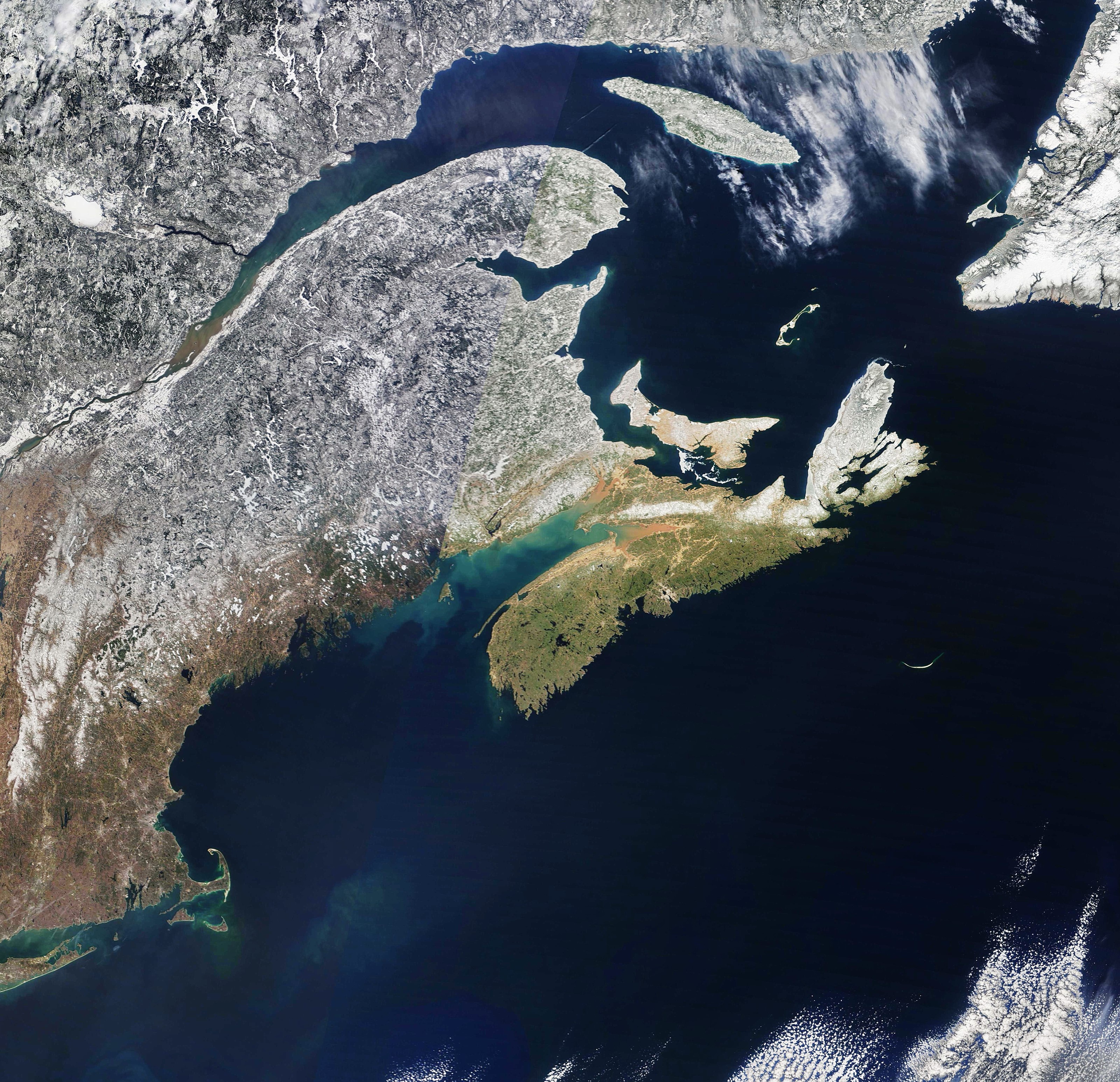
Nasa’s Terra satellite shot from April 10th shows the regional snowline moving up from the northeast US (above).
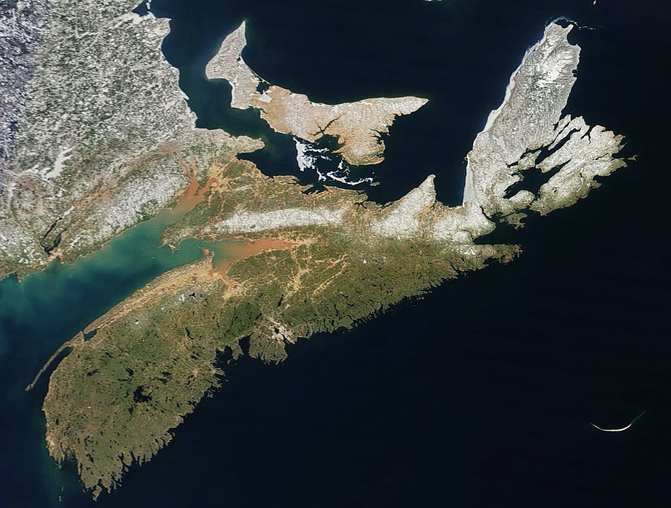
A close up of the province (below) shows that Cape Breton’s snowline is moving inland along the southeast coast. Some thin pack ice is still in place along Georges Bay and the west coast; even curling around the northern tip of the Island. Nothing of note in the Bras d’Or.
Courtesy of Cape Breton Weather Mesonet


0
Log In or Sign Up to add a comment.- 1
arrow-eseek-eNo items to display