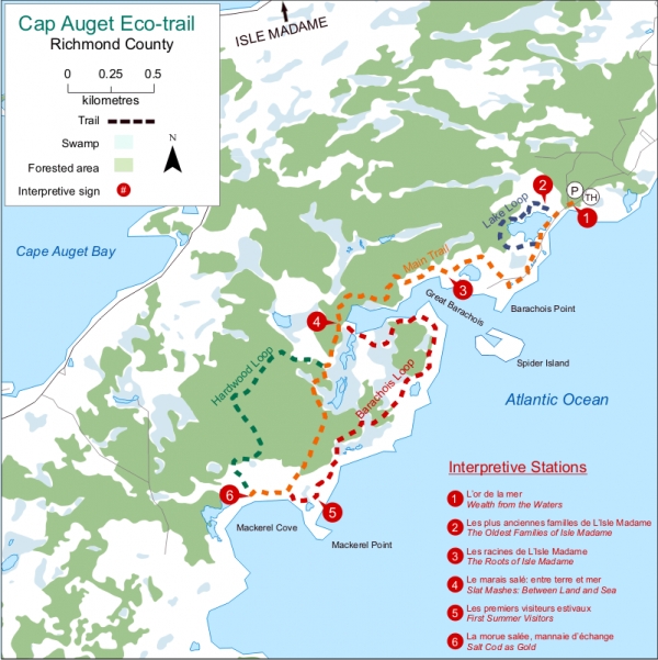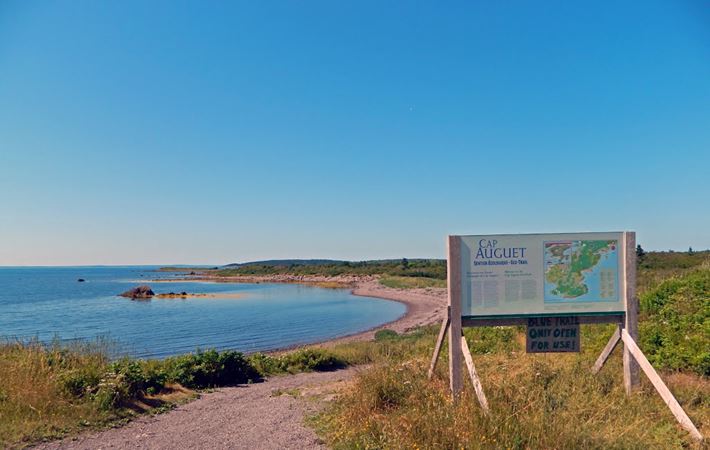
This trail follows the ocean and features lagoons, dunes, salt marshes, hardwood forests, and sandy beaches. There is an abundance of waterfowl, marine life, and edible plants. Shelters at regular intervals house benches, tables, and attractive interpretive signs which describe the ways in which the ocean has carved the history of Richmond County.
Directions:
On Ile Madame, drive through Petiti de Grat to Boudreauville where you will find the parking lot and trailhead.
The sea is the highway which brought the first settlers to Isle Madame more than 350 years ago and the source of the masses of codfish which sustained them. You will find many interpretive bilingual signs with detailed information on early settlers all along the walking trail. Follow the Isle Madame roadside signs to Boudreauville trailhead, where you will find parking, a picnic area, washrooms and orientation signs and maps. Allow half a day to hike the whole trail, or choose a shorter route by following one or more of the many paths off the main trail.


0
Log In or Sign Up to add a comment.- 1
arrow-eseek-eNo items to displayFacebook Comments