Hurricane Earl Brushes Cape Breton Island

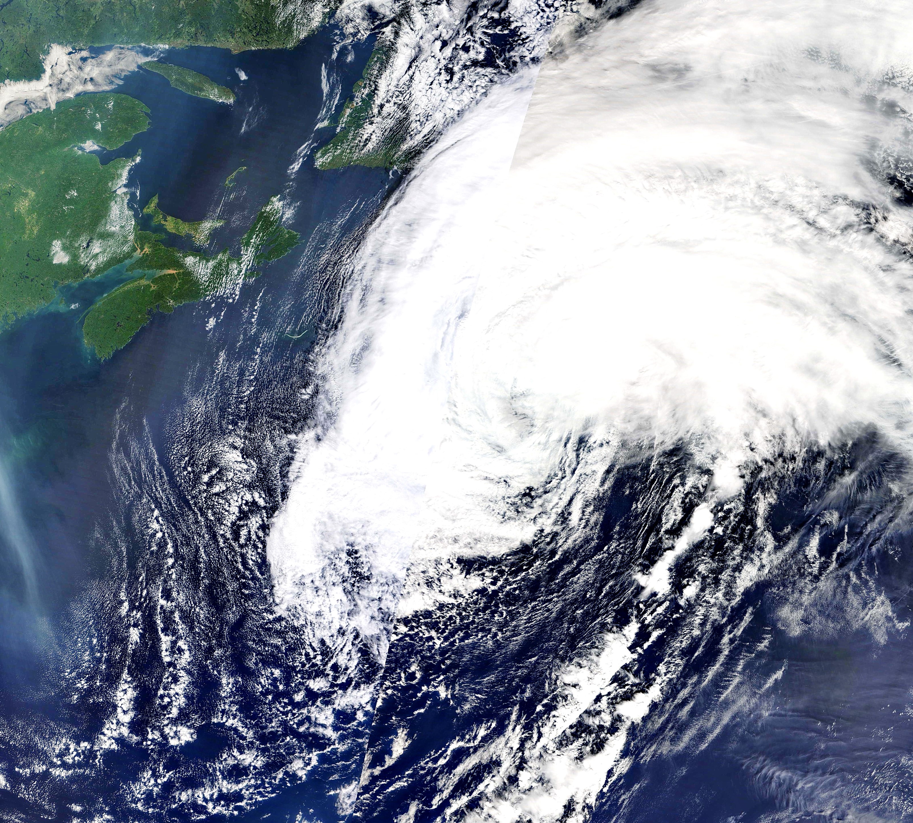
PHOTO CREDIT: NASA Terra satellite

The NASA satellite image shows that Cape Breton was just at the outer fringe of the cloud deck swirling around hurricane Earl this morning.  The extent and direction of the wind field generated by Earl is shown in the second image below.

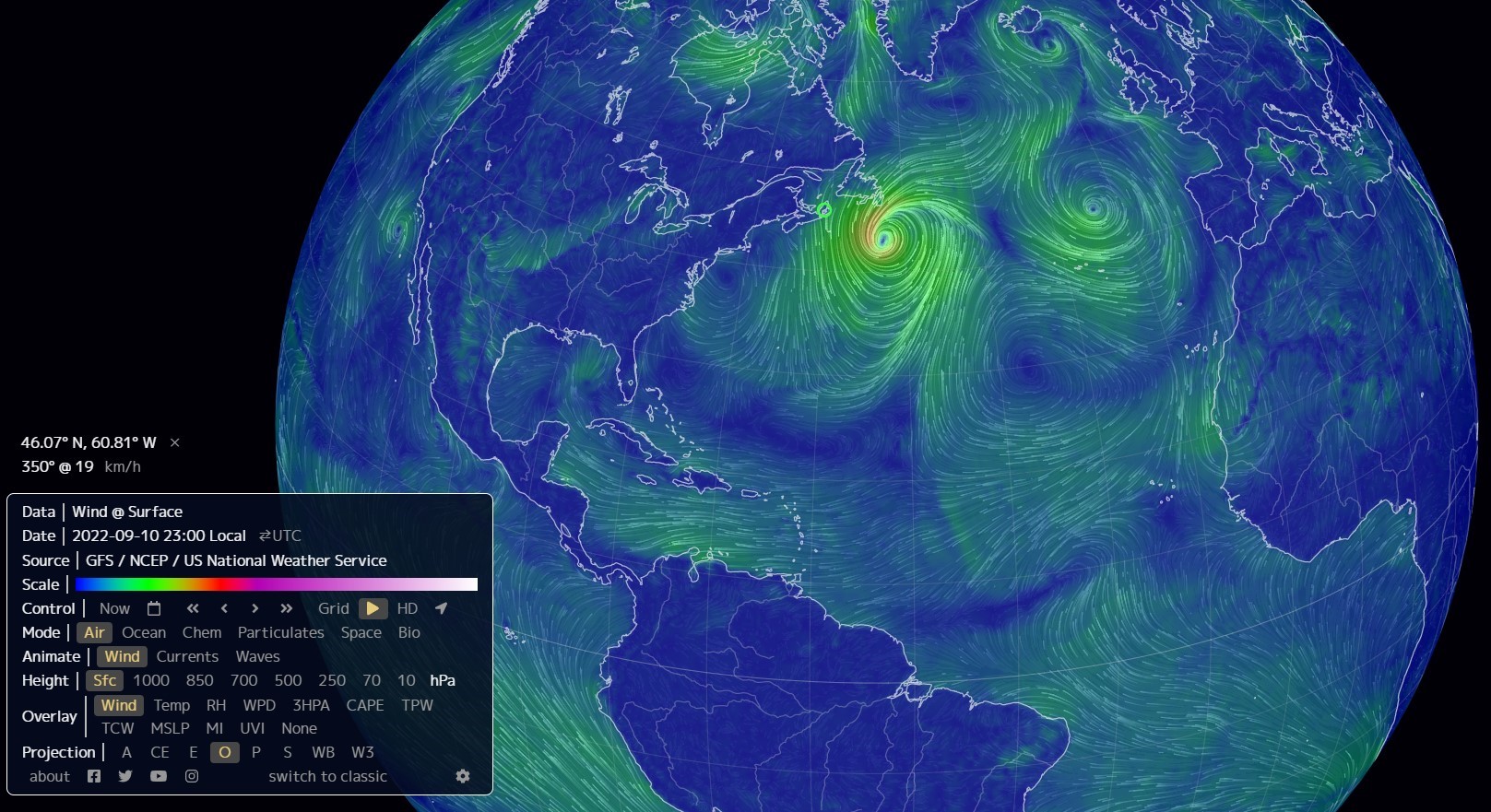
Courtesy of Cape Breton Weather Mesonet

Posted by
Receive news by email and share your news and events for free on goCapeBreton.com
SHOW ME HOW


1,961 1
https://capebreton.lokol.me/hurricane-earl-brushes-cape-breton-island
Living Weather

1

Log In or Sign Up to add a comment.
Depth
Rohn MacLeod Follow Me
ATV reporting it was warm and beautiful in Cape Breton when beaches had huge waves, the road to Big Glace Bay Beach was flooded and the wind is just starting to subside! Earl was very close but nothing from ATV in terms of an update. Their Cape Breton weather is as accurate as my crystal ball!

Facebook Comments

View all the LATEST
and HOTTEST posts
View

Share this comment by copying the direct link.

  • Our Sponsors

Using this website is subject to the Terms of Use that contain binding contractual terms.