History
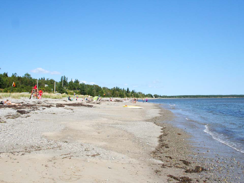
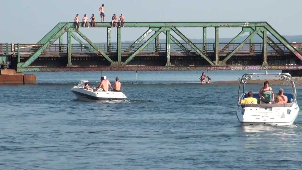
A mining railroad used to run from Glace Bay to Louisbourg passing the beach daily, the scarce remains of the railroad can still be found along parts of the shore. The most visible being the Mira Gut one lane bridge which was used to ride the trains but now only automobiles. Improvements to the original site include an expanded parking lot, a boardwalk, change houses, and a lifeguard hut, all initiated by the Mira Gut Development institute. NSLS began supervision of Mira Gut in 1996 under an agreement with the Cape Breton Regional Municipality.
Facilities
Mira Gut has outdoor washrooms and change rooms, a boardwalk and occasionally a mobile canteen on site.
Beach Safety
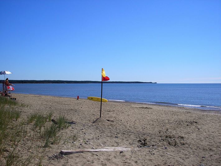
Mira Gut is generally a safe beach at low tide. Visitors to the beach can walk for miles along the sandbar at low tide which makes this beach ideal for families. However, there is a strong current to the right of the beach along the breakwater rocks, which runs along the beach due to the Mira River. This current can pose dangerous conditions for weak swimmers. Mira Gut is a very calm beach when it comes to beach conditions. Most days there is relatively little surf, but, because of its location, occasional high surf days do occur. The supervised swimming area is marked by two red and yellow flags on the beach. Swimmers are encouraged to stay between the red and yellow flags to avoid the current. The lifeguards advise patrons to swim in the supervised area to avoid the hazards of the channel and rocks. Flotation devices are not permitted on days when the wind is blowing offshore.
Directions
Coming from Sydney, Mira Gut Beach is located off the Highway 255, the Marconi Trail.
Civic Address
45 Mira Bay Drive, Mira Gut


0
Log In or Sign Up to add a comment.- 1
arrow-eseek-eNo items to displayFacebook Comments