

Satellite images courtesy of NASA
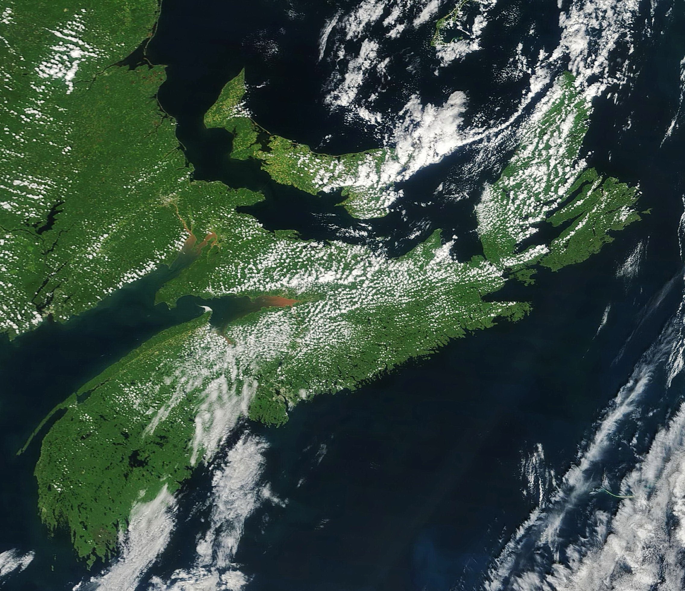
Not too often we obtain two satellite photographs with something of note in one day. The above photo is from NASA’s Terra satellite the morning of August 1st showing the morning’s heating starting the formation of small cumulus clouds over most of the Province.
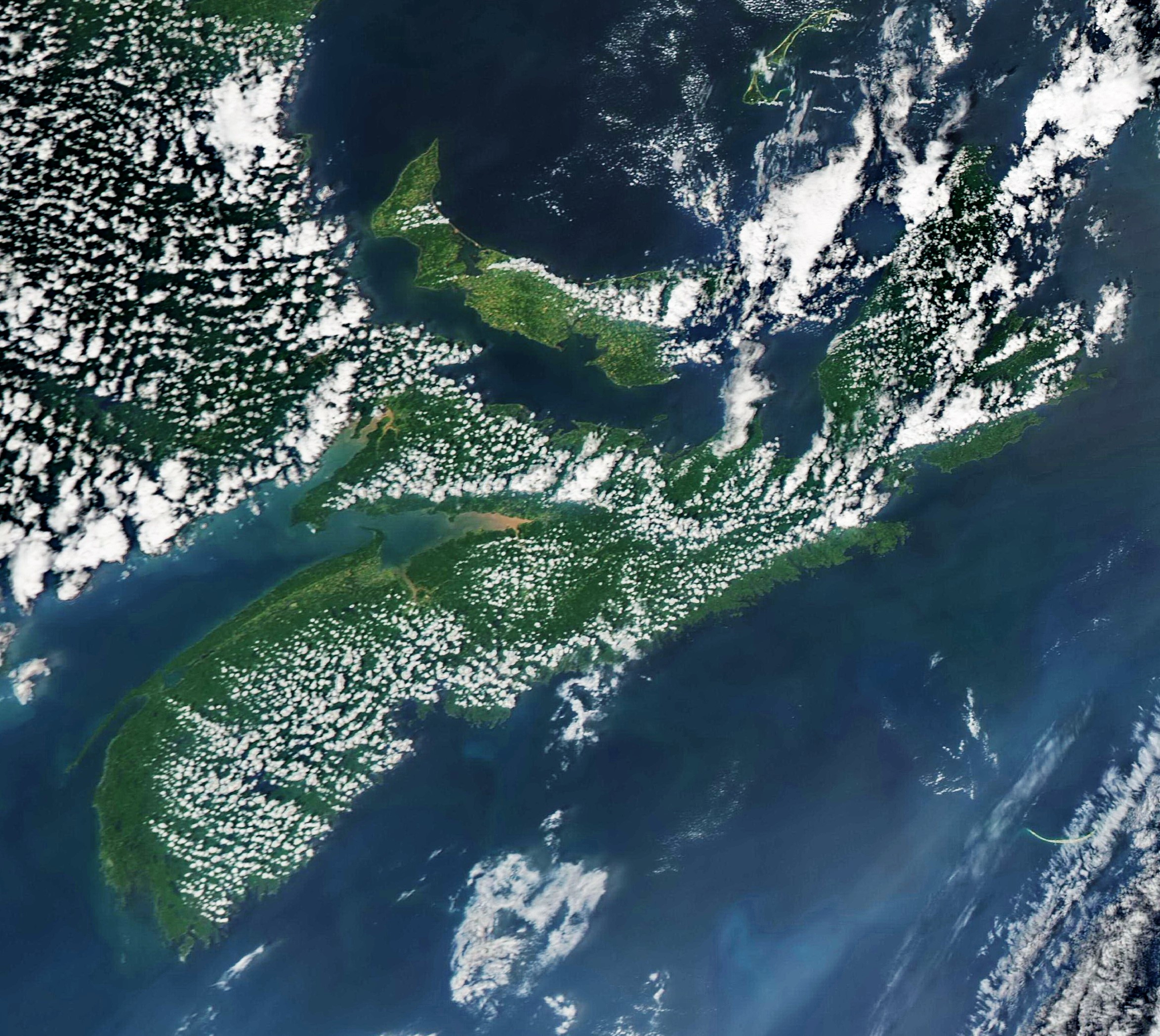
By the afternoon (image 2 above), the daily heating had built some of these smaller clouds into larger thunderstorms, especially between Cape Breton and PEI, as well as through the centre part of Cape Breton.

Image 3 is a close up of Cape Breton from the second satellite image, with a large thunderstorm building up along the south side of East Bay with accompanying rain, thunder and lightning.
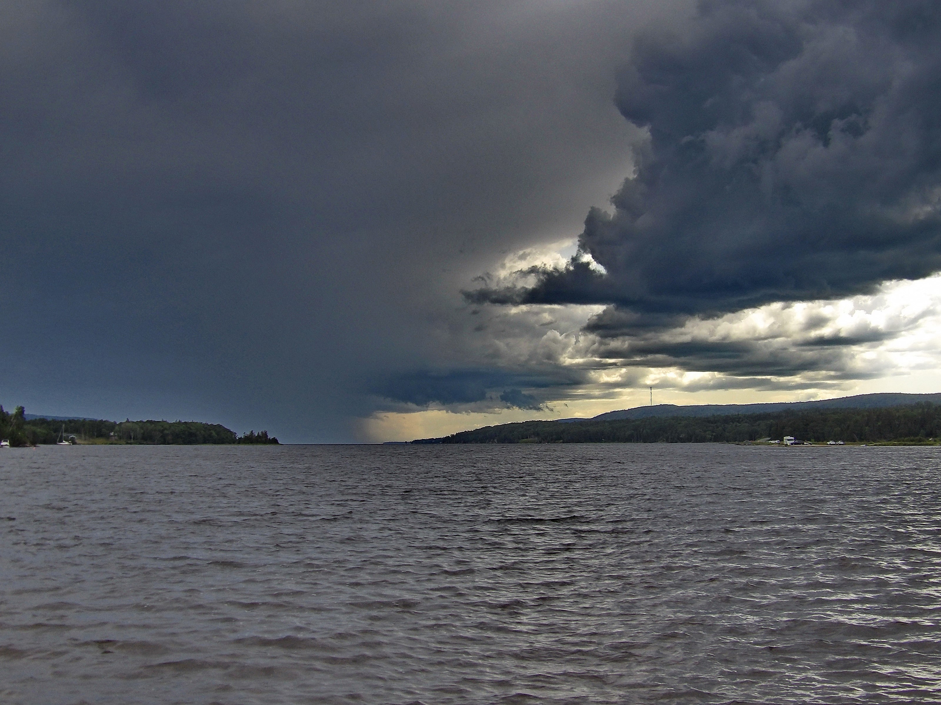
The final photo below is what that cloud looked like from the East Bay sandbar around 4 pm, looking southwest down East Bay of the Bras d’Or Lake. Certainly a different feeling you get between looking “down” from a satellite, compared to looking “up” from the ground!!!
Story courtesy of Cape Breton Weather Mesonet
Be sure to follow their Facebook page below


0
Log In or Sign Up to add a comment.- 1
arrow-eseek-eNo items to display