

PHOTO CREDIT: NASA Terra satellite
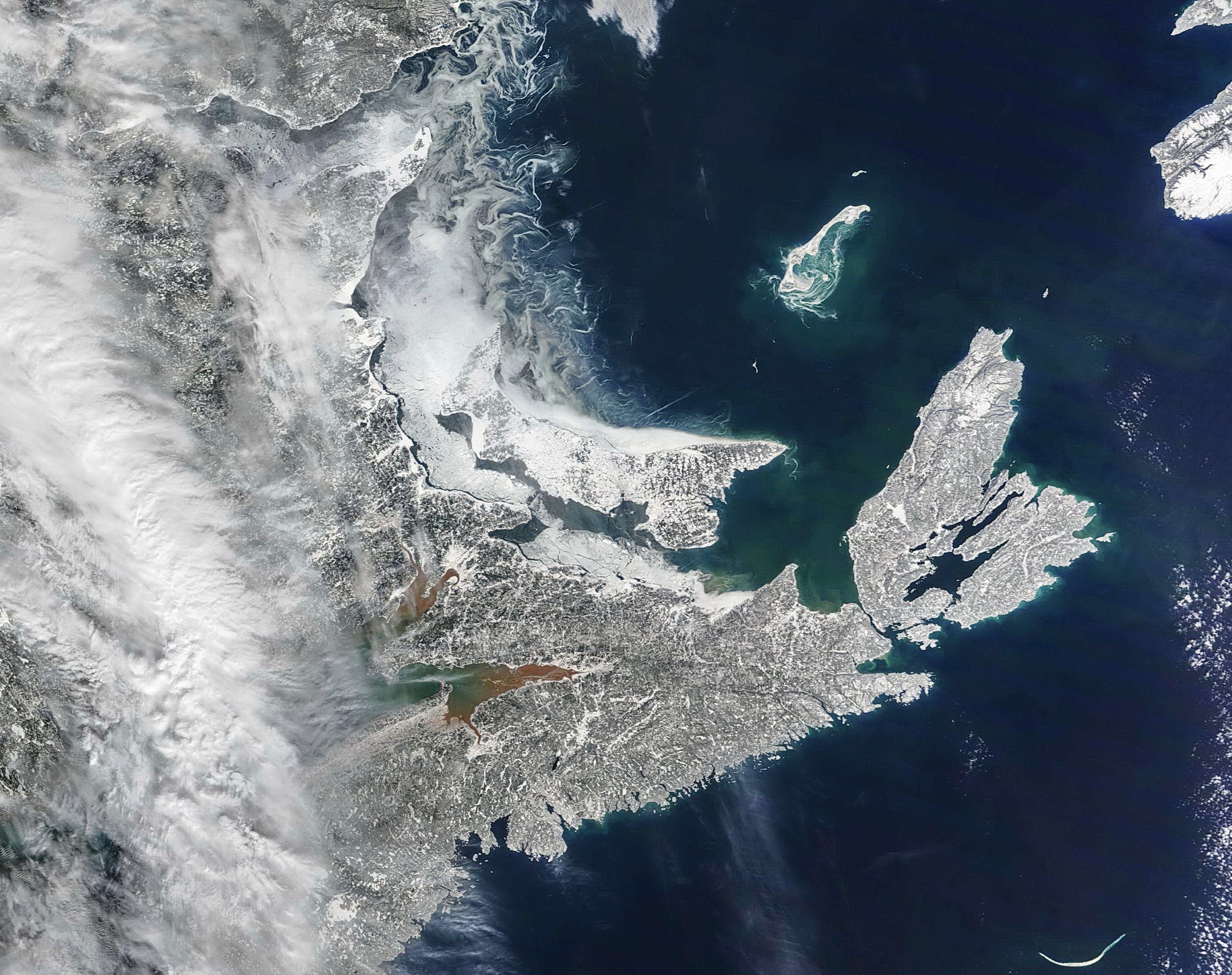
NASA’s Terra satellite got a nice regional picture of Cape Breton after the heavy snowfall.
There is minimal ice in the Gulf, except for some in the Northumberland Strait and around the Magdalen Islands. So lots of open water to help continued snowpack development in the Highlands.
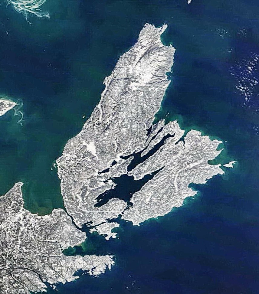
A close up shows full snowpack development over the entire Island and minimal ice in the Bras d’Or Lake. Not even much in St Patrick’s channel, which usually ices up first. The freshwater lakes now appear to be all frozen over. No pack ice development along the western shore.
Courtesy of Cape Breton Weather Mesonet


0
Log In or Sign Up to add a comment.- 1
arrow-eseek-eNo items to displayFacebook Comments