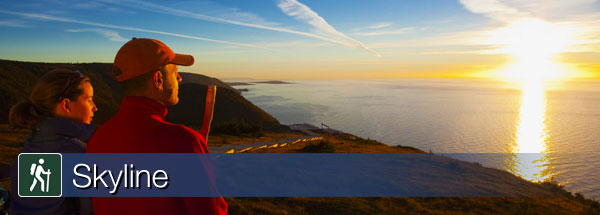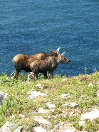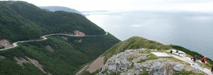

A dramatic headland cliff overlooks the rugged coast from the end of this level trail. You can enjoy an eagle's view of the Cabot Trail as it winds its way down the mountain – vehicles look like toys. Watch for whales in the Gulf of St. Lawrence from the viewing decks. Moose, bald eagles, bears and numerous boreal birds live in this habitat. Be cautious with children around the cliffs and give moose a wide berth. The headland plants are very fragile and easily damaged by trampling, so stay on the boardwalk.Dogs are not permitted here as they disturb wildlife, especially moose and bear.
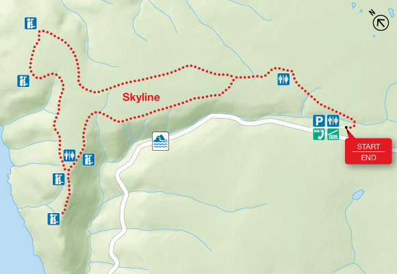
Length: 7.5 km (4.7 mi) return or 9.2 km (5.7 mi) loop
Elevation: 290 - 405 m (950 - 1,330 ft)
Time: 2 - 3 hours
Significant Features: Headland cliff, ocean
Main trail suitable for most skill levels. Boardwalk with steps at headland. Rugged back loop.
Trailhead: On the Cabot Trail at the top of French Mountain
GPS Co-ordinates for Trailhead (in decimal degrees):
Lat: 46.737691 Long: -60.880377


0
Log In or Sign Up to add a comment.- 1
arrow-eseek-eNo items to displayFacebook Comments